Development of a processing strategy for soil erosion modelling for Baden-Württemberg based on the Glems catch-ment area
Project background and objective
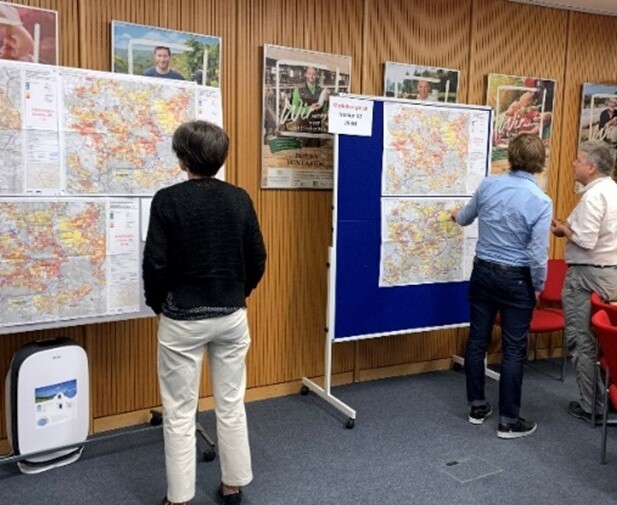
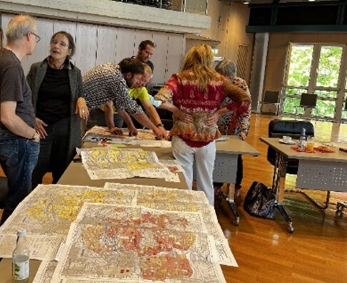
The background to the pilot project was the heavy rainfall risk manage-ment already implemented in Baden-Württemberg, in which municipal heavy rainfall hazard maps are created, which include information on flow paths, flow velocities and over-flow heights of the surface runoff. In order to be able to identify the sur-faces threatened by erosion due to heavy rain, in terms of potential erosion and input of displaced soil material, it is necessary to comple-ment the heavy rainfall risk manage-ment with soil erosion modelling.
The aim was to develop a processing strategy for erosion risk modelling for the state of Baden-Württemberg. Due to their methodological advantages, physically-based soil erosion mo-dels were to be used for this purpose (EROSION-3D and open-LISEM).
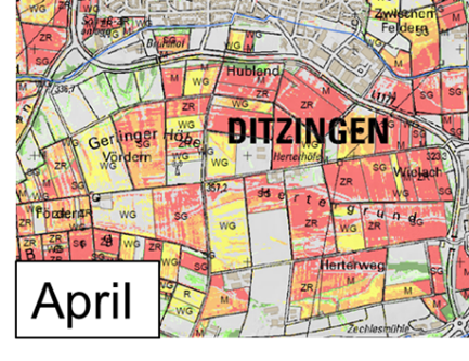
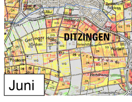
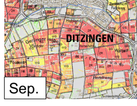
The pilot project was initiated in the German federal state of Baden-Würt-temberg by a broad alliance of spe-cialised authorities within the Ministry of the Environment and Ministry of Agriculture: In the selected pilot area (Glems), a catchment area of about 195 km², located northwest of Stutt-gart, agricultural use dominates on

State Office for Geology, Raw Materials and Mining (LGRB) in the Freiburg Regional Council
geomer GmbH
Erosion modelling
2021 - 2022
Project report "Erosion modelling for Baden-Württemberg (Glems region)" LGRB technical report 2023/1: https://produkte.lgrb-bw.de/docPool/c717_data.pdf
Digital appendix to the project report Pilot area Glems: https://doi.org/10.5281/zenodo.
7680734
the fertile, particularly erosion-prone loess loam soils.
Work steps
- Identification of primary data sources (including digital terrain model, digital landscape model, agricultural crop data, soil map, heavy precipitation data) and development of a processing methodology according to the requirements of the erosion models based on the pilot area Glems
- Derivation of the required soil and land cover parameters from the land use and soil information for the soil erosion models